


Local News
Preliminary damage survey of tornado damage rated EF2
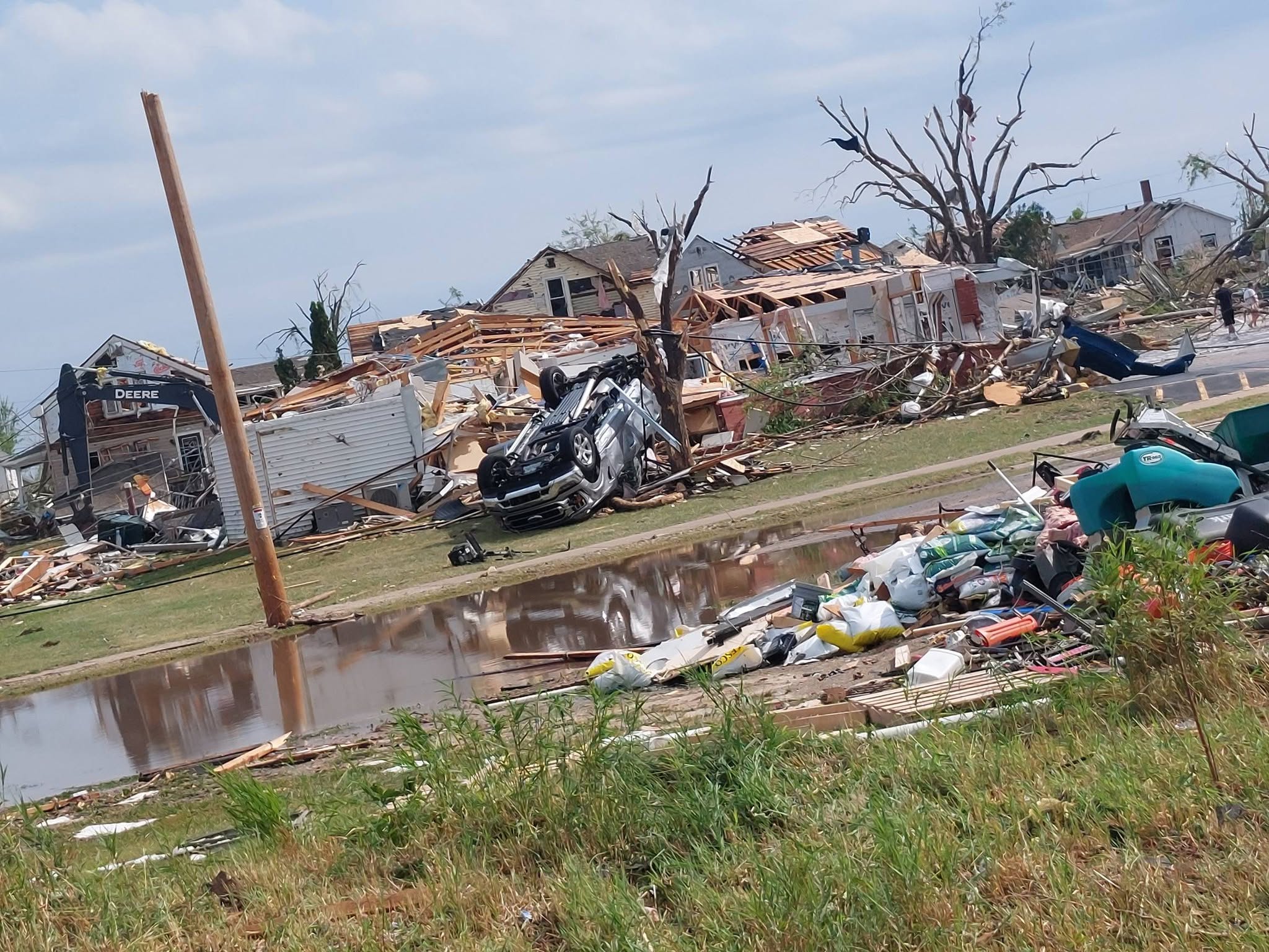
Photo courtesy of Steve Smits
After a preliminary storm survey, The National Weather Service in Green Bay has given the tornado that ravaged the Fox Cities area Monday a rating of EF2.
While no official map of the tornado’s path has been released yet, based on damage reports heard on the scanner, the tornado first touched down between College Avenue and Prospect Avenue with significant damage reported on Prospect.
From there the tornado, which was likely mostly wrapped in rain creating poor visibility of the threat, moved south, brushing the east side of Fox Crossings as it blew several semis over on Highway 10/441 on the Roland Kampo Bridge east to the Racine Road exit.
It was here the tornado did significant damage in western Menasha.
Continuing south, the tornado moved into Neenah doing significant damage on Doty Island and then on to eastern Neenah.
If there was any good news out of the tornado’s track it was that it ran out of land to damage as it continued south over Lake Winnebago.
Dozens, if not hundreds of homes sustained significant damage while hundreds of trees were destroyed and power was knocked out to 10s of thousands of people.
The National Weather Service will continue to do its damage surveys of buildings in the area so it’s possible the rating could be raised to EF3 damage.
At this time no deaths or significant injuries have been reported.