


Local News
Cold continues in Wisconsin as southern states deal with aftermath of major winter storm
While not as cold as temperatures got this weekend, it is still cold enough Monday morning, January 26, 2026, for the area to be under a Cold Weather Advisory, which is issued when wind chill values of -20 or colder are expected.
Temperatures Monday morning dropped down to -4 with a wind chill of 21 below 0.
A summery of the coldest temperatures this weekend are Friday morning when it got down to a -17 degree air temperature with a wind chill value of -42 degrees. Highs Friday rose to only -8.
Saturday morning temperatures also fell to -17, but the wind chill wasn’t as bad, bottoming out at -26. The high Saturday was -3.
However, the cold weather here was nothing compared to the winter storm that rocked the south this weekend.
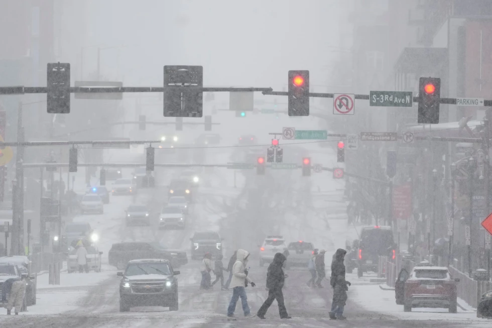
A snow and ice storm blanketed areas from Texas to New York with a foot of snowfall and ice as thick as 1.5 inches in parts of Mississippi, northern Louisiana, and southwestern Tennessee.
During the storms peak, more than 800,000 people were without power, mostly due to ice taking down powerlines. Much of the area without power is now seeing extreme cold temperatures in the single digits with windchills well below 0.
Combined Saturday and Sunday, over 24,000 commercial flights were canceled due to the storm. Key airports affected include LaGuardia in New York, which saw 91% of flights cancelled, and Philadelphia, which saw 94% grounded. Airlines say the backlog will take days to catch up on.
As far as the cold around our area, models show the only chance of reaching above the freezing mark will come in early February with an immediate cold spell to follow. If the temperature doesn’t reach over 32 degrees that day, we could likely go over 25 days straight below the freezing point. The last time we were above freezing was January 13th when we reached a high of 50 degrees.