


Local News
Common afternoon sight in summer are pop up thunderstorms – Here’s how they form
You’ve likely seen this summer forecast where there’s a chance of afternoon showers and thunderstorms for what seems like many days in a row. These are common during the hot days of summer, even when there is no weather “system” in the area that would create storms.
These pop-up thunderstorms, also known as air mass thunderstorms or garden variety thunderstorms, are localized, short-lived thunderstorms that develop rapidly due to daytime heating and atmospheric instability (cooler air aloft). These storms typically form during the afternoon and evening hours on hot, humid days.
So how do they form?
The sun’s heat warms the ground, causing a thermal, or heated air bubble, to rise up rapidly into the atmosphere. A process known as convection. As the warm air rises, it cools, and the water vapor within it condenses into clouds, eventually forming a cumulonimbus cloud.
If the atmospheric conditions are unstable enough, meaning warm air is rising rapidly through cooler air, the cloud can grow into a thunderstorm with heavy rain, lightning, and gusty winds.
Pop up storms usually aren’t “organized”. An organized storm means the upward moving air (updraft) is kept separate from the rain falling. In an organized storm, the upper level winds can push over the cloud tower and this then allows the rain to fall downwind of the updraft.
Pop up storms lack this upper level wind component, therefore when the raindrops form, they fall straight down and “choke off” the updraft, so the storm dies usually within 30-40 minutes after forming.
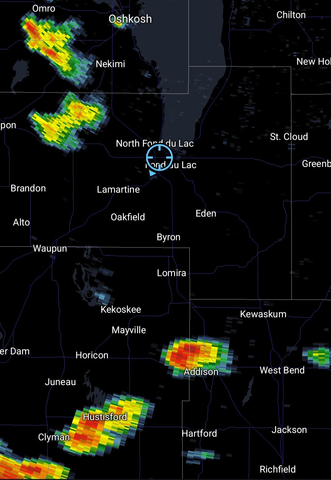
KFIZ News Director/Meteorologist Doug Raflik caught this process happening over Fond du Lac County Wednesday, July 2, 2025 that shows two of the phases of this process.
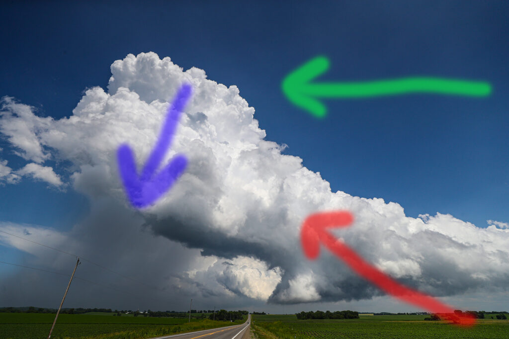
The storm on the right is in it’s growing phase. You can tell this by the texture of the cloud. When air is rising quickly through an unstable atmosphere, it has the appearance of looking “crisp” or like a head of cauliflower.
The storm on the left has lost that look, as the air is no longer rising. This is because the rain drops that formed in the cloud have started falling and choked off the updraft. Had you seen the left storm 30 minutes prior, it would have looked like the right tower, and if you were to continue watching the right tower, it would soon look like the left tower as it loses it’s updraft due to falling rain.
You can also see these towers are not leaning like the previous storm photo because there is no upper level strong winds to blow the tower over.
These storms rarely turn severe, and are generally slow moving so they have the potential to dump lots of rain where they do form.