Local News
KFIZ News Director/storm chaser Doug Raflik captures images of photogenic storms over Fond du Lac County
For those out to witness it, the Fond du Lac area was treated to an impressive view as two isolated storms traversed the county Monday evening, July 8, 2024.
While the structure, and radar signatures of the storms looked impressive and had similar characteristics of severe storms, they stayed below severe limits.
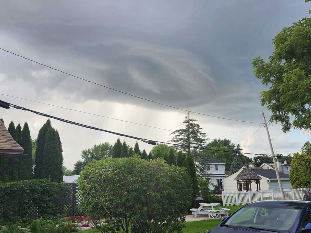
The first sign of anything impressive came with visual clues that an area of the first of the two storms had broad rotation in it as it passed over the Taycheedah area.
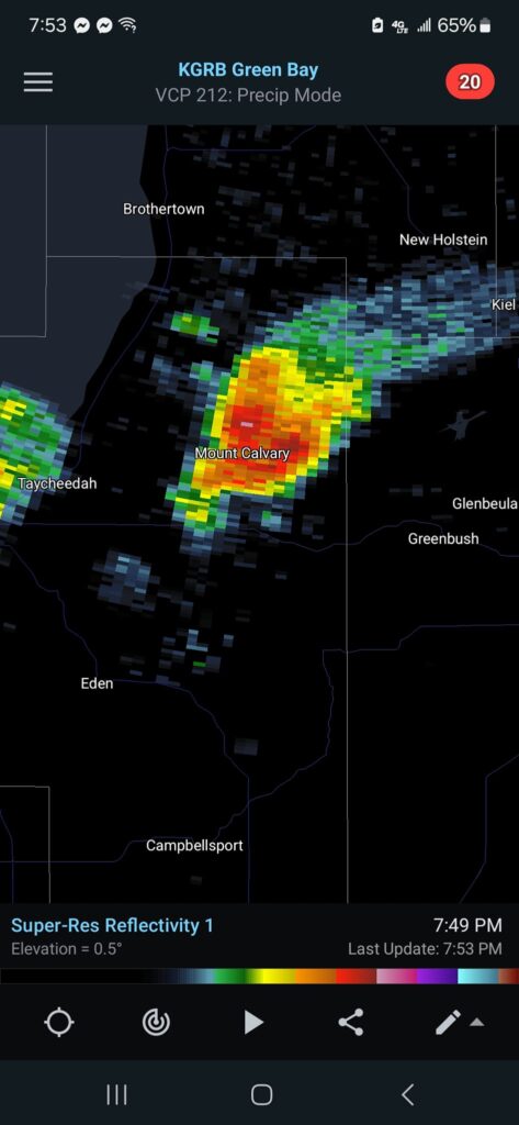
As the storm moved east, it’s appearance on radar began to take on the look of an organized storm. Similar to that of a supercell storm, which are often found out on the great plains and are associated with most of the nations tornado reports.
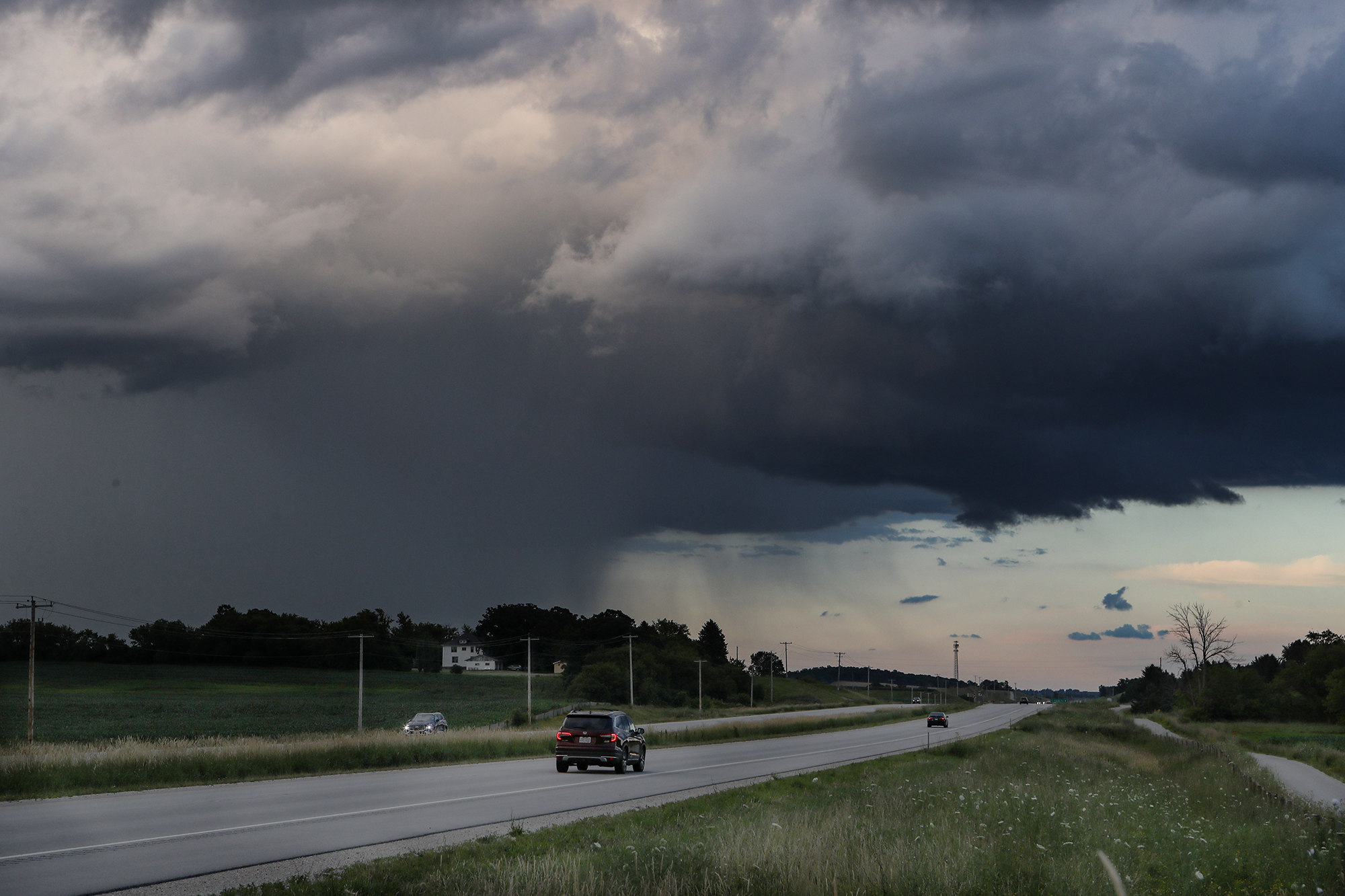
Raflik followed the storm to the eastern Fond du Lac County line, taking photos of a very prolific, isolated precipitation shaft as well as some other weather phenomenon often associated with storms. One such item was what’s called a rain foot. This is where heavy rain falls and as it reaches the ground, it pushes air out in front of it causing gusty straight line winds. Its called a rain foot because visually as the rain fans out at the surface with the wind, it produces a look of a foot.
As the storm moved into Sheboygan County a possible needle shaped funnel appeared near the area where the rain free base met the edge of the precipitation core.
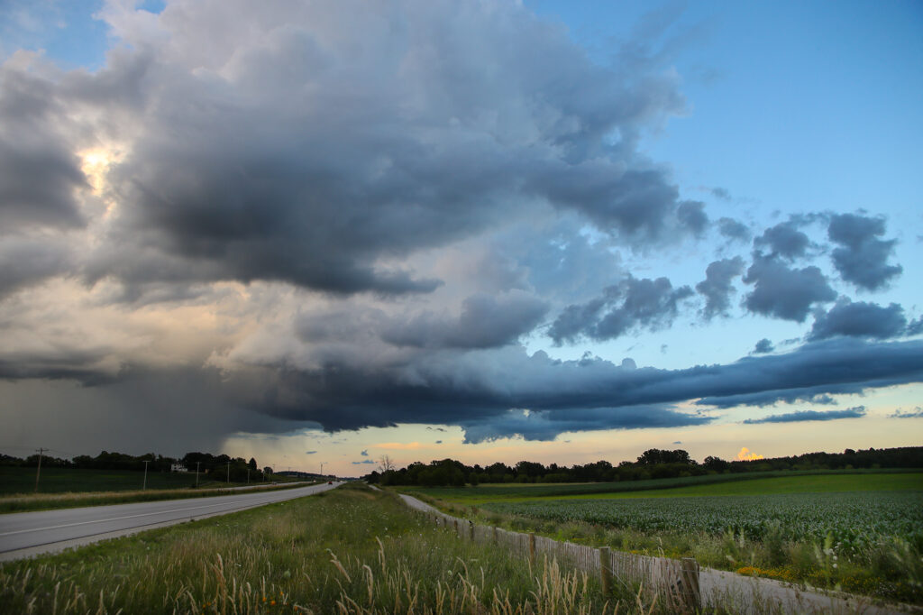
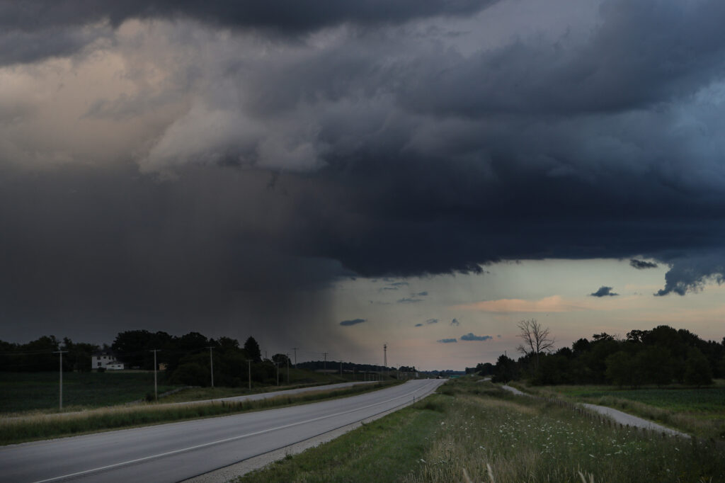
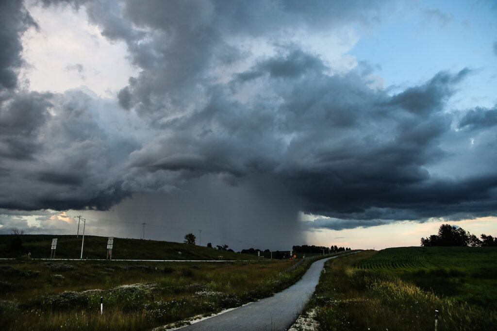
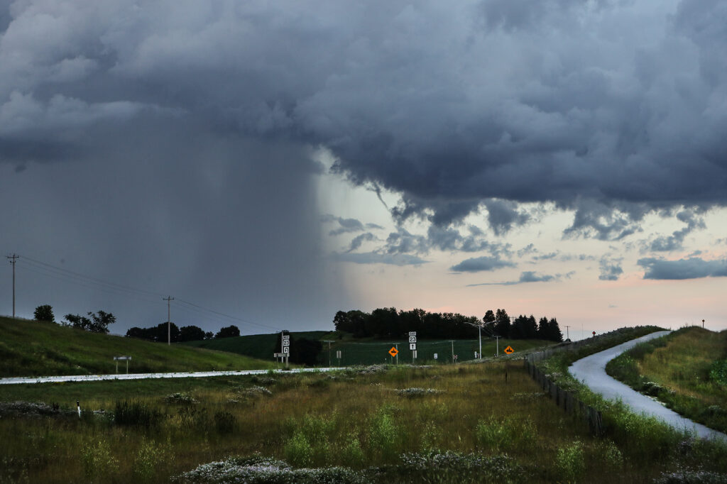
While this storm was going, a second, nearly identical storm developed in the western portion of the county and passed over the city with a brief but heavy area of rainfall.
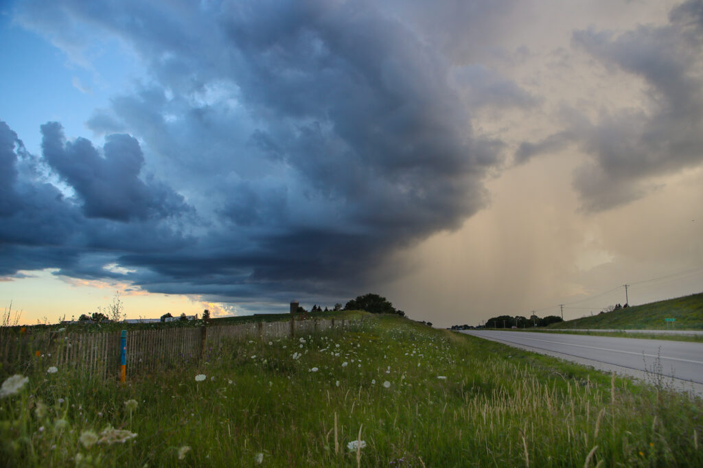
As the sun set, both storms, as well as others in the region dissipated about as fast as they developed.
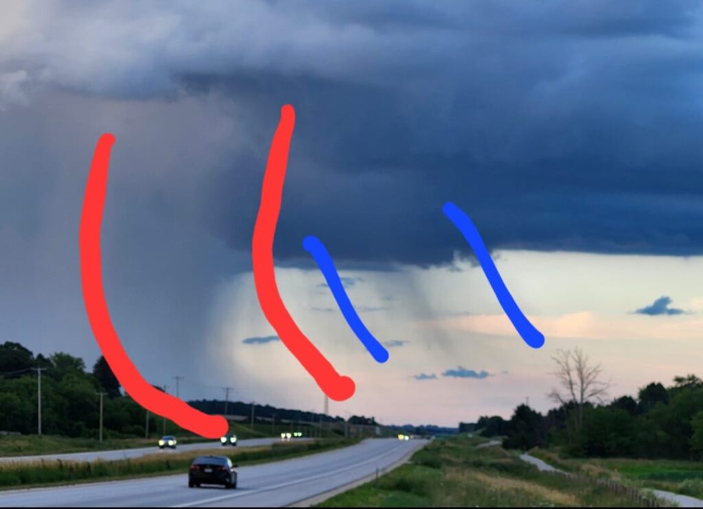
Here is a more detailed description of a rain foot as well as rain or hail falling through the updraft base.
A rain foot is usually associated with some stronger straight line winds. In between the red you see the shaded area which is heavy precipitation falling, and as it hits the ground it fans out because it obviously can’t go into the ground. As it pushes out at the surface, it pushes the air in front of it as well causing strong winds. The blue is simply just some rain falling through the updraft base. The updraft base is just as it sounds. That’s the area of the storm where air is getting ingested, moving upward and condensing into clouds and precipitation. The base of the cloud is simply where the air starts to condense into a cloud. As that air is blowing upwards it is suspending raindrops and hail, but sometimes the updraft will weaken and that rain or hail will fall through the updraft which is what is happening here.
