


Local News
Last week’s severe weather claims to be the rare event known as a derecho
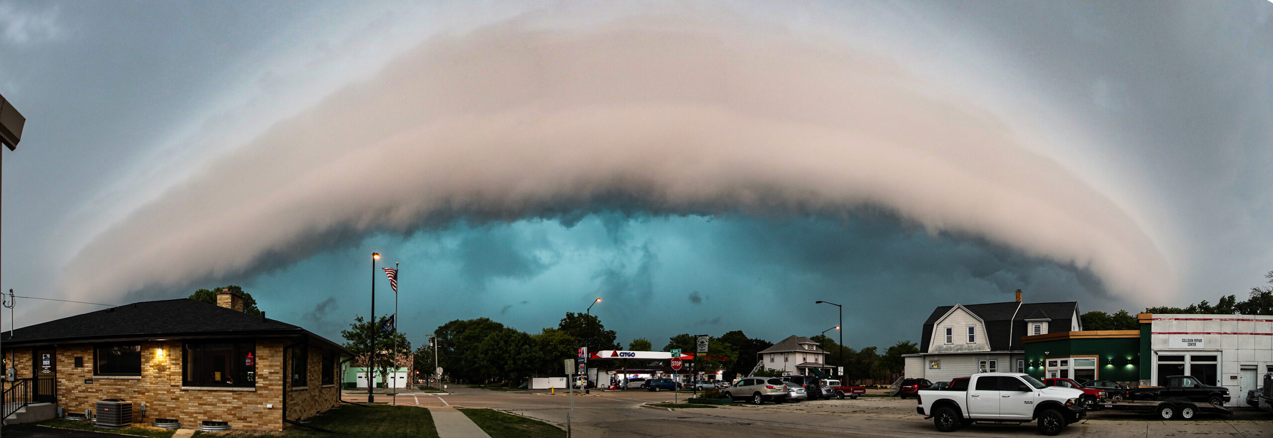
The National Weather Service has said that the severe weather outbreak across the state last week qualifies to be labeled the weather term, Derecho, which is a fast-moving, widespread, and long-lived windstorm associated with a complex of severe thunderstorms.
The storms of June 10, 2026 brought damaging winds, tornadoes, and widespread reports of fallen trees and structural damage across the area with the most significant weather occurring during the afternoon and evening.
At that time, an intense line of severe thunderstorms swept across southern Wisconsin with wind gusts exceeding 80 miles per hour being reported in several locations, and a 94 mile per hour wind gust recorded in Oshkosh.
The National Weather Service issued multiple severe thunderstorm warnings for the Madison area and locations to the south and west.
As the storms moved to the northeast, they weakened slightly in the Fond du Lac area, but remained damaging in the southwestern part of the county as well as northern Dodge County.
Two brief tornadoes were also confirmed — one near Lomira in Dodge County and another near Eden in Fond du Lac County.
The Derecho label came after the fact when meteorologists determined the storms were part of a larger event that impacted portions of the western Great Lakes, producing a long track of widespread wind damage from eastern Iowa into western Michigan.