Local News
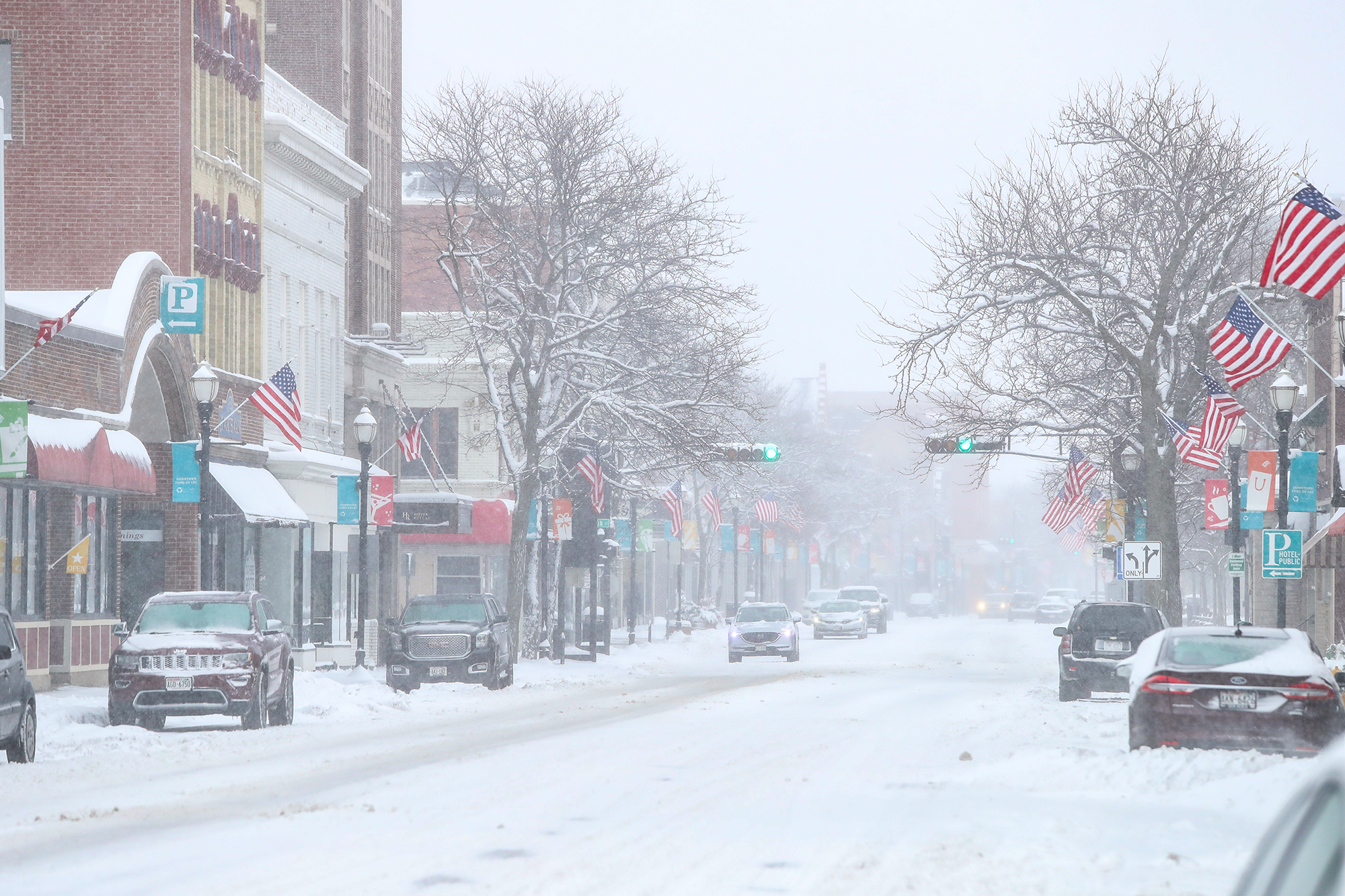
March 25th Winter Storm Recap

The season’s biggest one day snow totals fell over Fond du Lac county Saturday morning as a potent late season storm system surprised forecasters and veered north from
where the forecast models suggested the storm track would go.
Fond du Lac County started the day at the far northern edge of the significant snowfall potential in the 3-6 inch range, prompting the National Weather Service to issue a
winter weather advisory.
As the snow began to fall and the track was shifting north, the county was upgraded to a winter storm warning, but still forecasted totals only inched up into the 4-8 inch range.
Fast forward to 4 PM and around a foot of snow had fallen in the area with as much as 20 inches falling over parts of the Fox Valley.
Dozens of reports of crashes, vehicles in the ditch and jackknifed semis were reported in the area.
As is typical with spring snow storms, about half of the snow had melted by Saturday evening as the sun made its way out and temperatures climbed into the upper 30s.
A look ahead shows a somewhat quiet pattern with only a minor disturbance bringing us some light snow mid week with a larger storm system moving in starting Thursday and affecting us into Saturday, but at this time, that storm looks to bring us mostly rain.


