


Local News
National Weather Service asking for severe weather reports from Wednesday’s storms
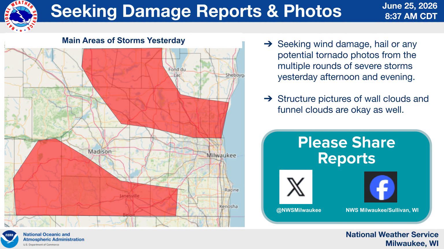
The National Weather Service is asking if anyone experienced storm damage in Wednesday afternoon’s storms that moved through the western half of Fond du Lac County, Green Lake and Northern Dodge County.
A tornado warning was issued for the tri county area shortly before 5:30 pm while the region was under a severe thunderstorm watch.
A line of strong to severe storms moved in from the northwest and an area of rotation formed on the leading edge of the storms as it moved from Green Lake into Fond du Lac County.
The rotation remained over mostly rural areas but radar did show it coming close to the villages of Fairwater and Alto. At this time no reports of tornado touchdowns have been reported, but minor damage could have initially been overlooked.
Also indicated by radar was hail, with many residents reporting copious amounts of pea sized hail, but the National Weather Service is interested if anyone had any hail stones around one inch in diameter.
Anyone that can provide this information is asked to contact the NWS Sullivan Office on their Facebook page.