


Local News
Omega Block about to overspread the area. Should you be concerned?
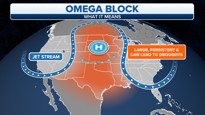
The weather continues to stay uneventful as a high pressure becomes firmly planted in the area. This looks to overall, remain the case for the duration of the forecast.
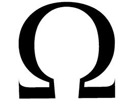
You may hear this weather pattern described as an Omega Block.
This is due to the look the mid level jet stream has, resembling the Greek letter Omega.
When the jet stream makes a dip, or makes a u shape on a weather map, you can expect some stormy weather, however when the jet stream makes a crest, or the up and down shape of a hill on a weather map, one would expect high pressure to fill in the middle portion of the crest.
The Jet stream is usually in motion from west to east pushing these dips and hills along, changing weather patterns in any given area every couple of days.
An omega block is basically a VERY large hill in the jet stream over an area, with two very pronounced dips on either side. This shape takes on the form of the omega letter.
For this particular case, the jet stream is diving south on the Pacific coast and taking a sharp turn back to the north over the dessert southwest. this dip is creating day after day of severe weather in the pan handle of Texas and New Mexico. The jet than makes a large crest over the middle portion of the country before diving back south over the Atlantic states.
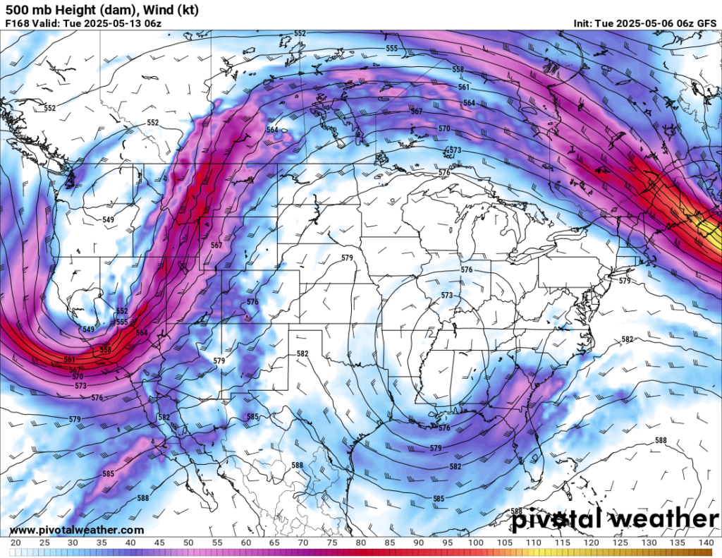
When this happens, the jet stream is still flowing from west to east, but the pattern itself tends to slowly drift west to east, keeping this crest firmly in place of the central states.
Opposite of the dips in the Jetstream, which create areas of stormy low pressure, the rise and fall of the jet creates high pressure which brings generally clear skies and dry weather. And that’s where we are sitting for the week and into the weekend.