


Local News
Quiet weather sets in after night of warnings
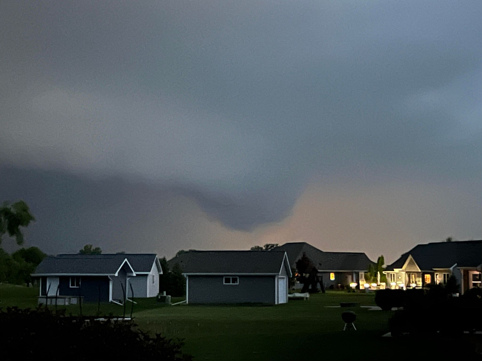
***Photo of wall cloud in central Fond du Lac County submitted by Adam Kempf***
Severe weather raked across the western portions of Fond du Lac County last night, but if you were to compare the aftermath of the storms to the warnings, you would see the storms bark was much worse than it’s bite.
The storms were from the same system that brought numerous tornado warnings and confirmed tornadoes to portions of Iowa.
In total 79 tornado warnings were issued from 7 AM yesterday morning through 11 PM last night for areas of Nebraska, Iowa, Minnesota, Illinois, Missouri and Wisconsin with 20 of them being in the Green Bay and Milwaukee forecast areas. At this time, no tornado touchdowns have been reported in the eastern half of the state.
Its a different story when it comes to wind however as numerous areas have reported trees and powerlines down due to straight-line thunderstorm wind gusts.
In Fond du Lac County, the western portion of the county was hit hardest with Ripon, Waupun and the Brandon Fairwater areas reporting widespread damage.
As of 5 AM Wednesday morning, Aliant Energy was reporting more than 13,000 people without power in Iowa and Wisconsin. WE energies was reporting 32,000 people without power in north east Wisconsin last night after the storm had passed.
An additional 270 people in Waupun lost power with Waupun Utilities. There, downed trees took out wires, with at least one power pole snapped in half.
The mayhem was all due to a line of storms associated with a cold front that was spawned by a powerful low pressure system. The winds aloft were conducive of very organized updrafts in the storms which translates to a tornado and straight-line wind threat with the storms.
Wednesday and Thursday’s forecast has much drier and quieter conditions.