


Local News
Severe Storms / Tornadoes Possible For Southeast Wisconsin Thursday Evening
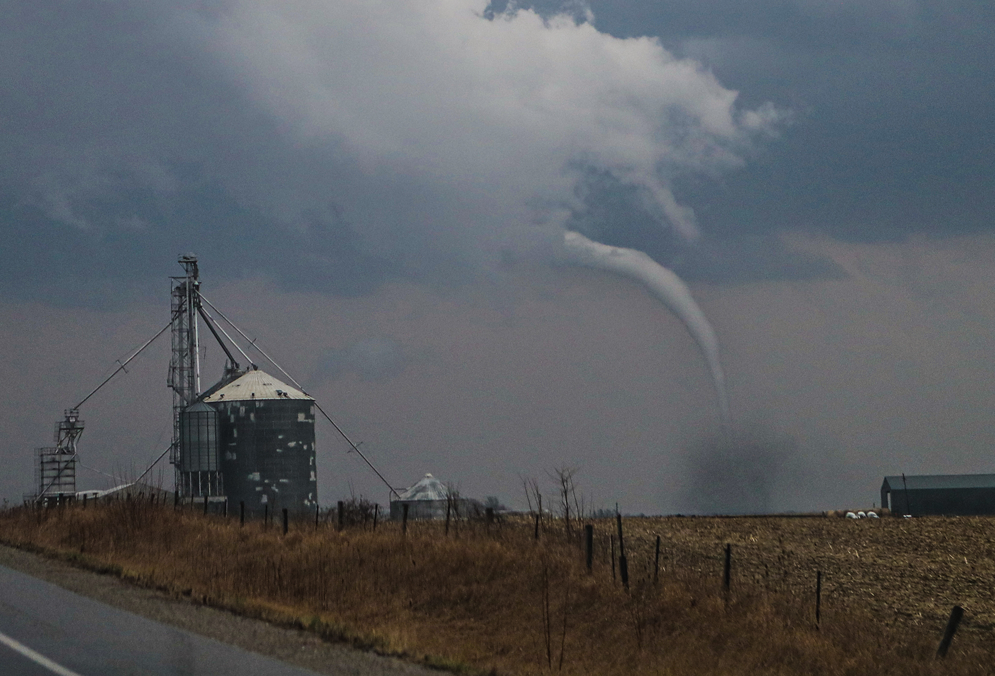
Southeast Wisconsin is looking more and more favorable this afternoon for scattered thunderstorms with some of the storms containing large hail, and an isolated tornado can not be ruled out.
Skies have cleared more than expected after earlier rain has moved out of the area. The more heat that can build with the sunshine, the more potent the storms will have the potential to be. This heating causes instability because the temperatures aloft are colder. As the surface heats, these parcels of air will rise, creating rain showers, or in some scattered cases… thunderstorms.
Winds at the surface and aloft are conducive for causing any of the more vigorous storms to rotate as the approaching low pressure center moves in from the west.
According to forecast models, the best chance of storms will be in the 5 PM to 7 PM time frame.
The Fox valley is at the northern most plume of forecasted instability so the better chance for severe weather will exist the farther south you go into southeast Wisconsin and northern Illinois.
Stay tuned to KFIZ for any updates with watches and warnings as the afternoon progresses.