


Local News
Severe weather spotter training class offered Wednesday night
There may be snow on the ground but that doesn’t mean it’s too early to start thinking about severe weather. The National Weather Service will be in town tonight, Wednesday, April 3, 2024, teaching a storm spotter training class in an effort to get more people educated with what to look for in the identifying and reporting of severe
weather.
The weather representative will teach the difference between wall clouds and shelf clouds, hail sizes, wind speeds and of course tornadoes.
But why does the weather service offer this class?
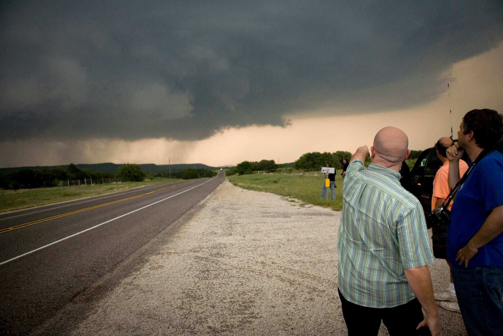
Their radar can only see a small sample of what is happening in their county warning area, and in some cases, the radar can only see down to a certain elevation above the ground, so while they may have an idea of the size of hail falling, or that rotation they are seeing aloft in the clouds may be on the ground… they don’t actually have the ground truth.
That’s where we come into play. With people scattered all over every county, the weather service is hoping enough of the general public will learn what aspects of severe weather are needed for a severe weather warning and how to identify AND report that weather to the National Weather Service.
Not only does this benefit everyone in the area by being able to get a warning out in time to actually warn people, but it also gives you an edge to keeping you and your family and property safer in the event of severe weather.
The class lasts about two hours and is free to attend. It will take place starting at 6:30 tonight in the County Board Chambers room at the City County Government Center at 160 south Macy Street in Fond du Lac.
Everyone is encouraged to attend. Severe weather never takes a season off which was made evident this winter when Wisconsin saw it’s first ever February tornadoes.