


Local News
Tornadoes and baseball sized hail impacts areas in southern Wisconsin
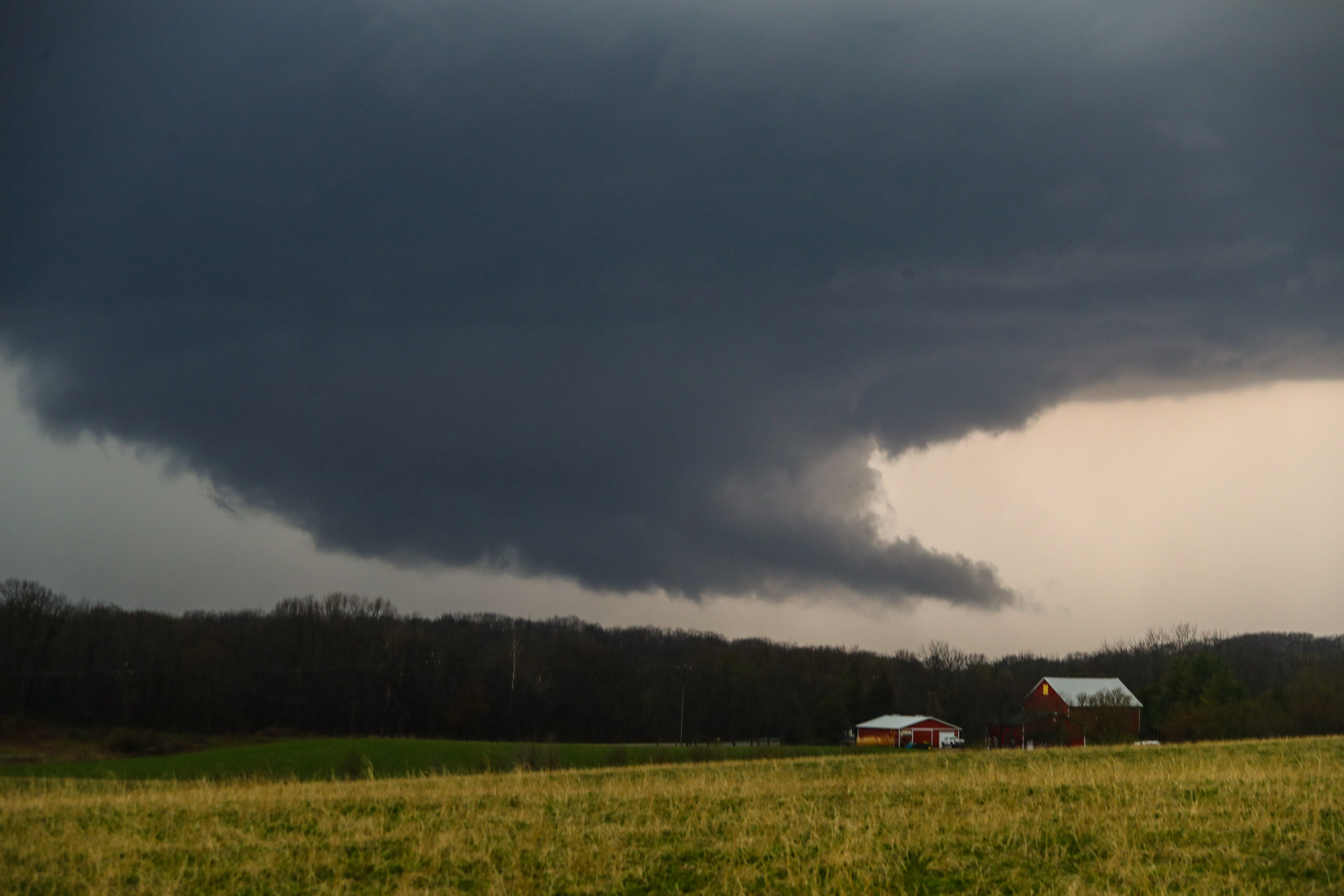
A second day of severe weather impacted the Wisconsin area Tuesday, April 14, 2026, as a warm front and a low pressure storm system worked in tandem to create storms from Iowa into southern Wisconsin.
A tornado watch was issued around 3 p.m. with the first tornado warning occurring in Dane County at 5:17 pm. While this storm never did drop a tornado, it did produce baseball sized hail, as did many other storms in the state. This led to many vehicles as well as buildings being severely damaged.
In total, 17 tornado warnings were issued by the National Weather Services in La Crosse and Milwaukee/Sullivan spanning a time from 5:17 p.m. to just before 9 p.m.
Storms continued to form in Wisconsin and move in from the Iowa area causing multiple weather warnings.
Officially, as of Wednesday morning, five tornadoes occurred in four different Wisconsin Counties. Two in Marquette, and one each in Grant, Juneau and Waukesha Counties.
As weather conditions allow, officials from the NWS will be out doing damage surveys Wednesday, to see what other damage was caused by tornadoes or straight line winds.
On Wednesday, the bulk of the severe weather will be out of the area, however southern Wisconsin could see more strong storms later today.