Local News
Tornadoes in Wisconsin in November? It could happen

Digging into the National Weather Service forecast discussion as well as the Storm Prediction Center’s forecast graphic for tornadoes, you see that the Fond du Lac area has a VERY isolated, small risk for a brief spin-up today. How is this possible? First we need to find out why the area is supposedly conducive for tornado development today.
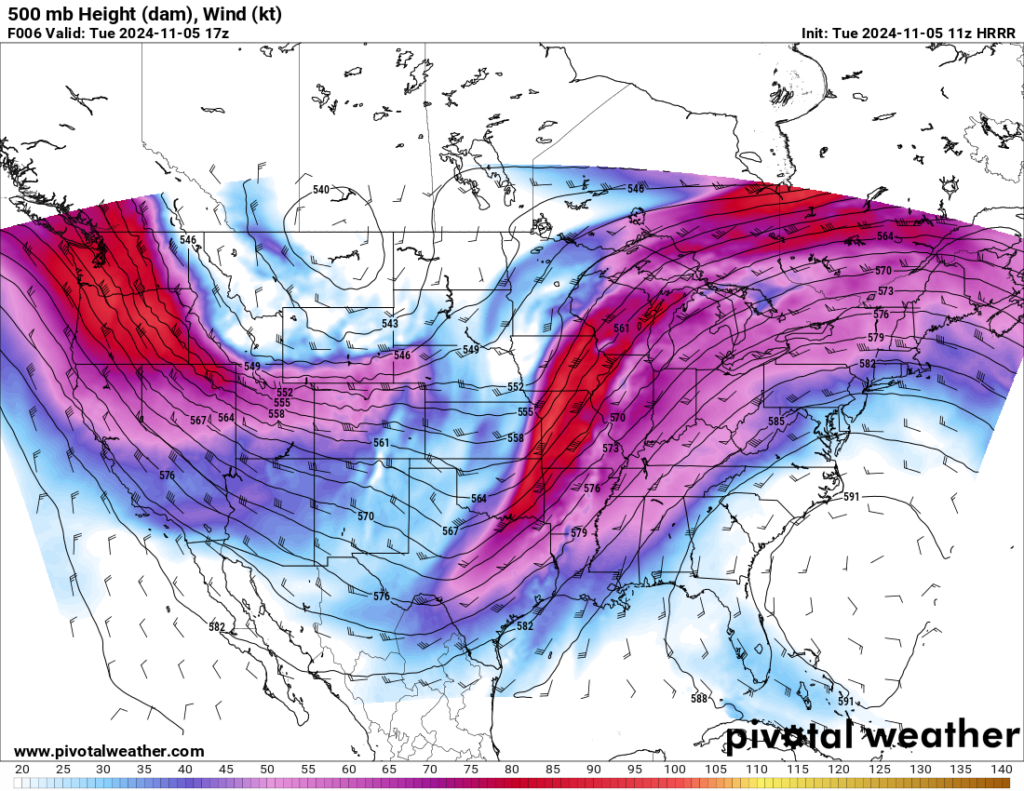
A strong, dynamic low pressure system is making it’s way through the area, and as the center of that low pressure approaches Wisconsin from the southwest, its places our area on the northeast quadrant of the low center. What does this mean? Winds aloft are often different than winds at the surface. The winds aloft will generally have a western component to them.

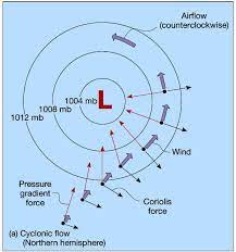
Winds at the surface are dictated by their location related to high and low pressures.

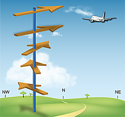
When those winds as you elevate above the surface change direction, we call that wind shear.

Winds at the surface are flowing counter clockwise around a low pressure, so for instance, the wind on the west side, or 9 o’clock location if we were to compare it to a clock face, would be blowing from the north. Winds that turn, if you can imagine, with height in a counter clockwise direction, are not conducive to rotating storms. So visualize the winds from the north at the surface and from the west aloft. The wind direction turned from the north, or 12 o’clock location to coming from the west or 9 o’clock location. That is counter clockwise.
Now lets move to the northeast quadrant, or 2-3 o’clock location. Winds at the surface will be blowing from the southeast. Again as you increase in height, the winds are coming from the west or
9 o’clock location. So as you go up, the winds will shift from the east or southeast and then to the west, or a clockwise pattern. 3 o’clock to 9 o’clock. Winds turning clockwise with height are more conducive to causing thunderstorms to rotate in a favorable pattern to cause tornadoes and that is the case today as we will be in that north east quadrant. So the turning with height will be there, however without a strong storm, that really means nothing as far as tornado development.
Regardless of strong storms form or not, this storm system is pulling ample moisture up from the gulf of Mexico which is turning to rain for much of the central portion of the country, so pack your umbrella if headed to the polls later, and monitor KFIZ’s Facebook page for up to the minute warnings should one be issued.


