


Local News
Winter decided to show up… The day before Spring
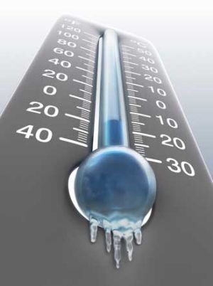
Winter has finally decided to show up in Fond du Lac County… Ironically its the day before spring begins.
Temperatures in the Fond du Lac area will be below normal every day this week with the exception of Tuesday. On top of the cold, forecast models are showing two storms making their way to the area over the next seven days that could amount to several inches of snow.
The cold spell started this weekend as a clipper system moved out of Canada over the area Saturday dropping temperatures. Highs Sunday only made it up to 37 degrees, but that happened early morning and temperatures fell through the day to the mid 20s overnight.
High pressure will keep our area quiet and cool Monday, with a low pressure passing just to our north Tuesday, switching the winds from the south which will warm us up to the upper 40s. But then it goes downhill fast from there. Winds on the backside of that low will bring in colder air from the north on Wednesday and a fairly strong approaching storm system will bring us a chance of snow Thursday night into Friday. Right now models are pointing to about 4-6 inches of snow with this first storm, but it is still four days out so not only will the path of the storm likely change, but warmer ground temperatures will likely keep some of that initial snow from accumulating. Remember it was only last week that we had record setting highs with it hitting 71 degrees on Tuesday.
Models are also suggesting an even more powerful storm early next week. Still too far out to go into any details, but somewhere in the area is likely to see
some significant snowfall from that storm as well.
Stay tuned to the KFIZ Morning show with up to date forecasts at 6:19 and 7:54 as we track these late season snow storms.