


Local News
Storms today? Forecasting models say yes, but are they right?
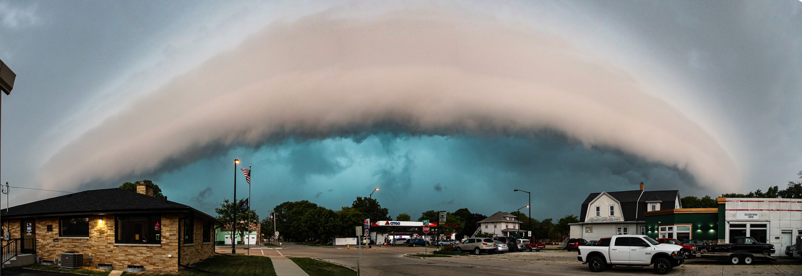
Mother Nature continues to toy with the area with the promise of rain and then pulls the rug out from under us.
Like last week Monday, Sunday, July 26, 2026, models had a significant risk of showers and thunderstorms in the area to help relieve the ongoing drought, but a cap, or warm layer of air aloft, suppressed that rain development.
With each ongoing model run, the risk of rain got pushed later and later. First 9 p.m., then 3 a.m., and then later Monday morning. Unfortunately rain that had developed, was in a line to our east, much of it falling over Lake Michigan where it’s was doing no good at all for our area.
The Storm Prediction Center had all of southeast Wisconsin in an enhanced risk of severe weather for Monday. While this sounds hopeful for much needed rain, that same risk was in our area Sunday when nothing other than a quick shower passed through overnight.
The US Drought Monitor map, put out with a combined effort by the National Drought Mitigation Center, the National Oceanic and Atmospheric Administration and the U.S. Department of Agriculture, is released each Thursday. This last map release has all of Fond du Lac County in at least some state of drought with worsening all but inevitable if this latest risk of rain doesn’t pan out Monday.
Models had an area of rain forming in northern Wisconsin early Monday morning around 5 a.m., and moving south into the Fond du Lac area around the 9-10 am time frame, however as of 6:30 a.m., those storms had not formed.
Models also show a chance of afternoon storms if the cap weakens and clouds clear to allow daytime heating.
If this activity does form, there is a chance of severe weather, which KFIZ’s Facebook page will be tracking and reporting on as it happens.