


Local News
Fond du Lac County mostly unscathed despite two tornado warnings
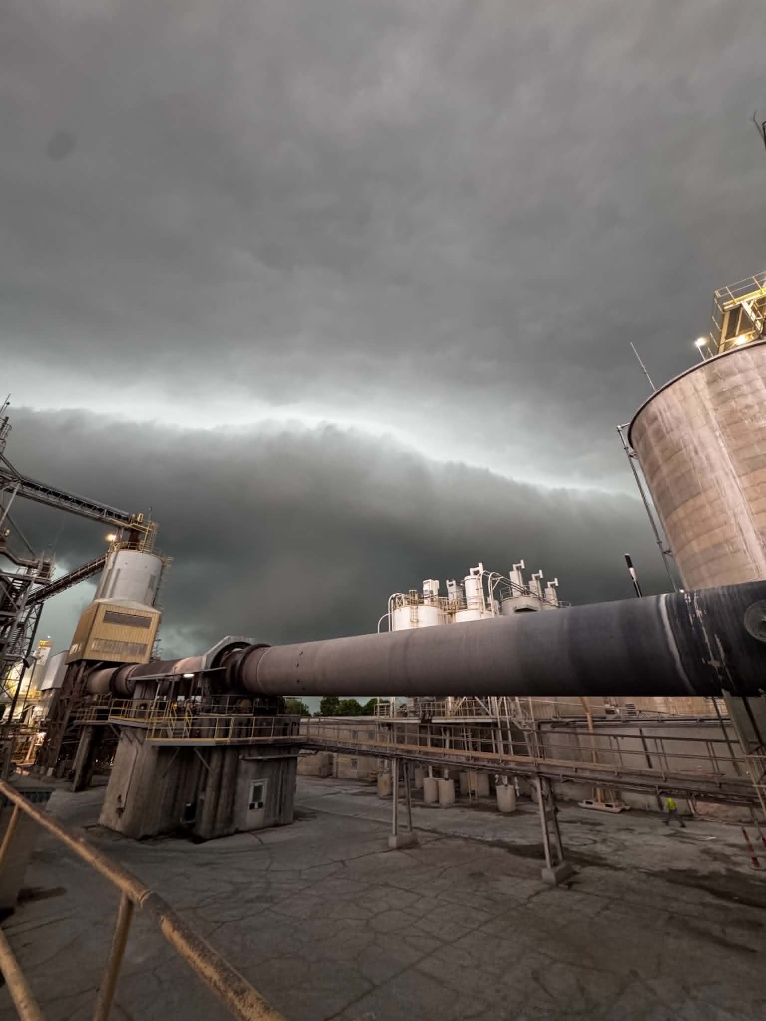
Photo from Marblehead courtesy of Treanna Murre
Fond du Lac County dodged a weather bullet in Monday’s storms as two tornadic circulations moved south out of the fox cities, at one point heading straight towards the city of Fond du Lac.
Its unknown if the cooler waters of Lake Winnebago caused the Neenah/Menasha storm to weaken, or if the storm’s tornadic rotation would have weakened regardless, but about a 1/3 of the way south across the length of the lake, the velocity couplet on Doppler radar, which is a feature that shows strong rotation in the clouds, weakened significantly.
At this point the storm wobbled a bit more to an easterly direction so what was left of the tornadic circulation moved back on shore in northeastern Fond du Lac County, putting places like Pipe, Johnsburg and Mt Calvary in it’s path. Despite the tornado warning issued for this area at 12:44 p.m., no touchdowns were reported as of yet.
Just when it looked like Fond du Lac County would be out of the way of danger, a new area of rotation quickly developed just to the northwest of Rosendale, prompting a second tornado warning to be issued for the county, running simultaneously with the warning in eastern Fond du Lac County. While again no tornado was reported with this warning, spotters did report seeing a funnel cloud with this rotation.
Despite all the action and potential for severe weather, Fond du Lac County had very few damage reports, with the only official report listed is a powerline down in the St Peter area, which was caused by a falling tree branch.