


Local News
Four tornadoes reported in Dodge County Thursday based on National Weather Service survey
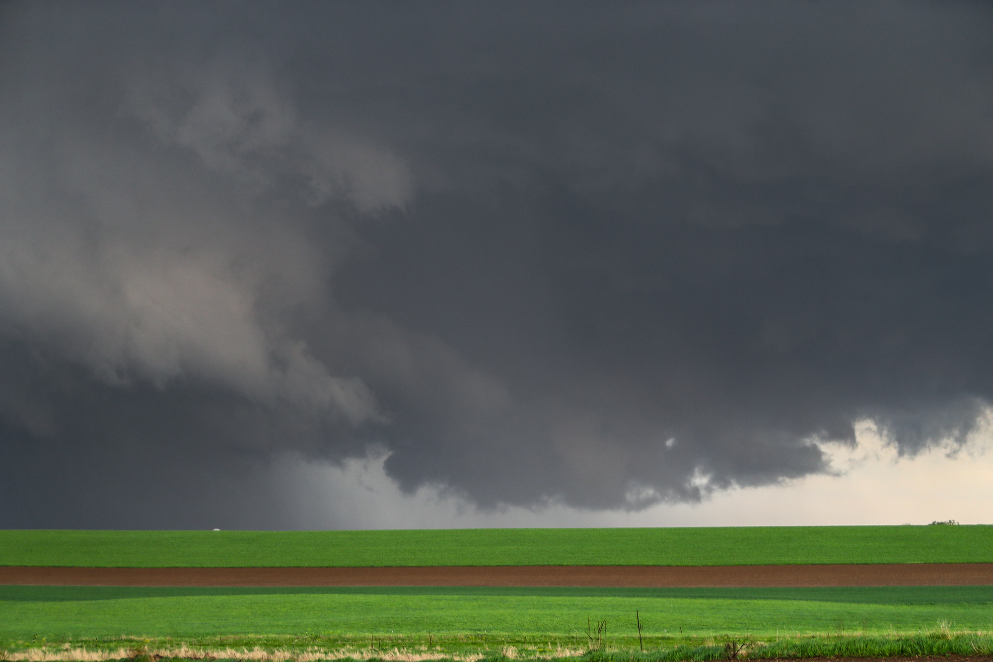
After surveying damage left behind from storms Thursday afternoon May 15, 2025, the national weather service concludes that four separate tornado touchdowns occurred in Dodge County from the same storm.
Two of the tornadoes were rated EF1 and two were rated EF2. The EF scale is a system that rates the damage tornadoes do. EF1s can cause roof damage, uproot trees, and break windows. EF2s can rip roofs off houses, uproot large trees, and cause significant damage to vehicles. If a tornado stays over an open field and does no damage to a structure, it’s rated an EF0 regardless of how powerful it is.
Tornado 1 touched down at 5:42 PM 3 miles west of Juneau. EF-2 rated damage from this tornadowas found just west of Juneau. This tornado was on the ground for about 9.2 miles, ending just east of Horicon. Peak wind speeds were estimated to be 120 MPH.
Tornado 2 touched down two miles north of Juneau and started while the first tornado was still on the ground. Damage was found near the Dodge County airport and proceeded to the east before ending just east of the Rock River. Path length is estimated to be 4 miles long with peak wind speeds of 95 MPH.
Tornado 3 touched down at 5:59 PM two miles west southwest of Mayville, entered the city on the southwest side and proceeded about 5 miles through town exiting the northeast side. Peak winds in this tornado are estimated at 120 MPH.
And Tornado four touched down at 6:09 PM 2 miles southwest of the village of Lomira. This EF1 tornado had an estimated path length of a half mile and a peak wind of 95 MPH.
In addition to the four Dodge County tornadoes, three other tornadoes touched down Thursday in Northwest Wisconsin as well.