


Local News
Quick hit of snow Saturday with cold temperatures to follow
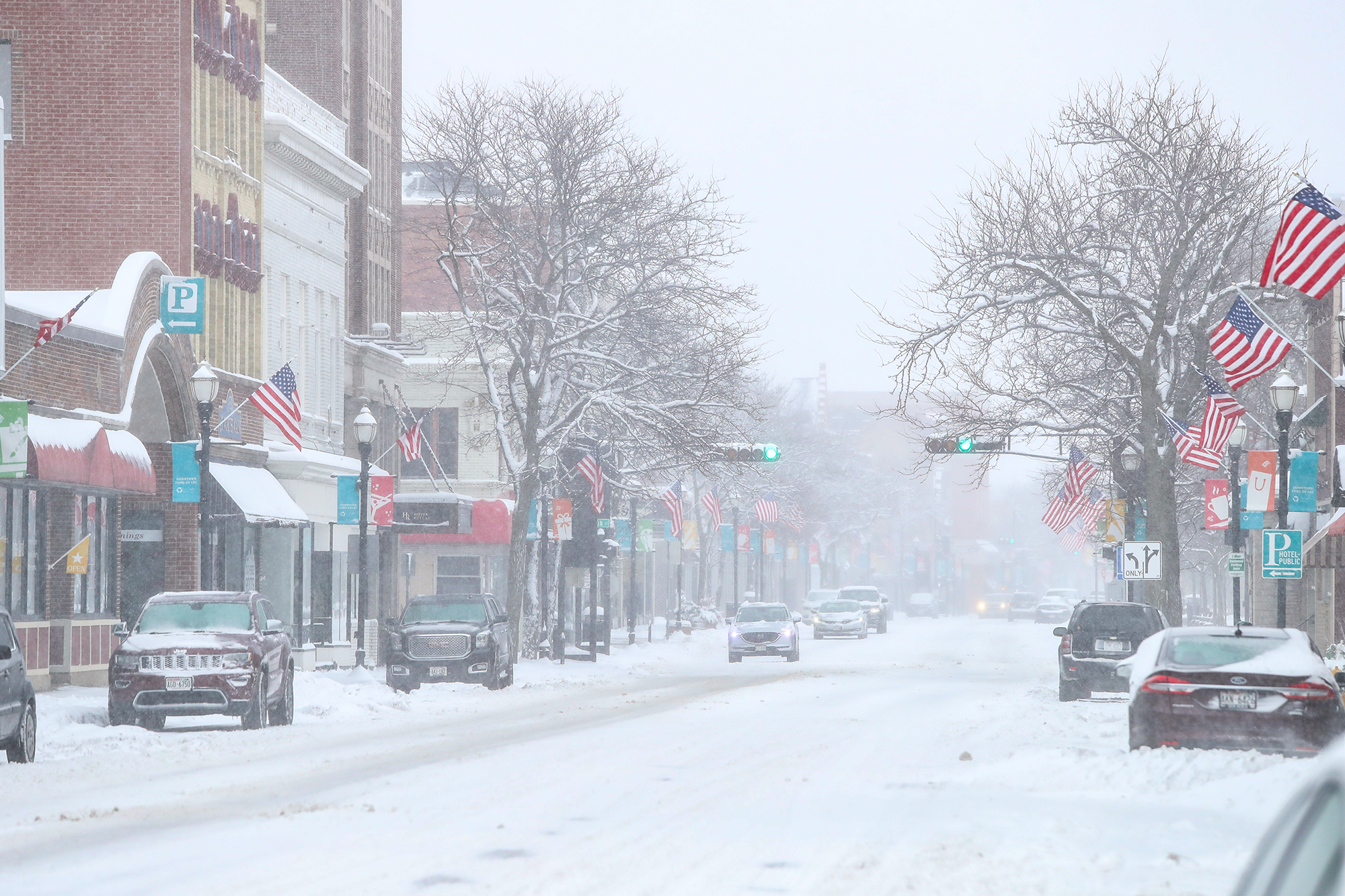
An area of snow will spread into southern Wisconsin from the west Saturday, February 28, 2026, around the early afternoon.
An east-west band of more intense snowfall, possibly up to an inch per hour should develop along/north of I-94. There continues to be a some uncertainty between forecast models of where the heavier snow band will track, but models are currently favoring the Green Lake into Fond du Lac area.
While most of the area will see 1-2 inches, where this band sets up could see a 2-4 inch swath of accumulation.
Snow will taper off after 7 Saturday night with north winds dropping our temperatures to around 10 degrees by Sunday morning.