


Local News
Severe weather likely Monday
A significant severe weather event is looking likely to occur in the area Monday.
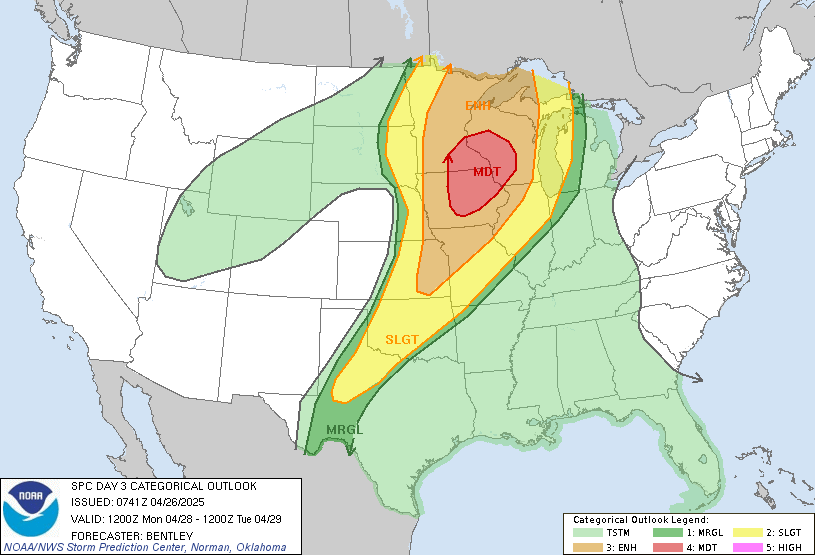
A strong low pressure at the surface will be overlayed by winds aloft conducive of severe weather development. The Storm Prediction Center already has an outlook giving western Wisconsin, Iowa and southern Minnesota a level four out of their five tier system for severe weather. The Fond du Lac area is in level three of the system. The levels are based on aerial coverage severe weather is expected to affect and not the strength of the storms.
As of now the storms are expected to form in western Iowa and spread east. Our area is reduced in the coverage due to the expected arrival of severe weather to mostly be in the evening and after dark when the suns heating has stopped, which is an ingredient in the development of severe weather.
An area of rain will pass through earlier Monday morning and how soon that rain clears and if the sun can make an appearance will also have an impact on our severe weather potential Monday evening.
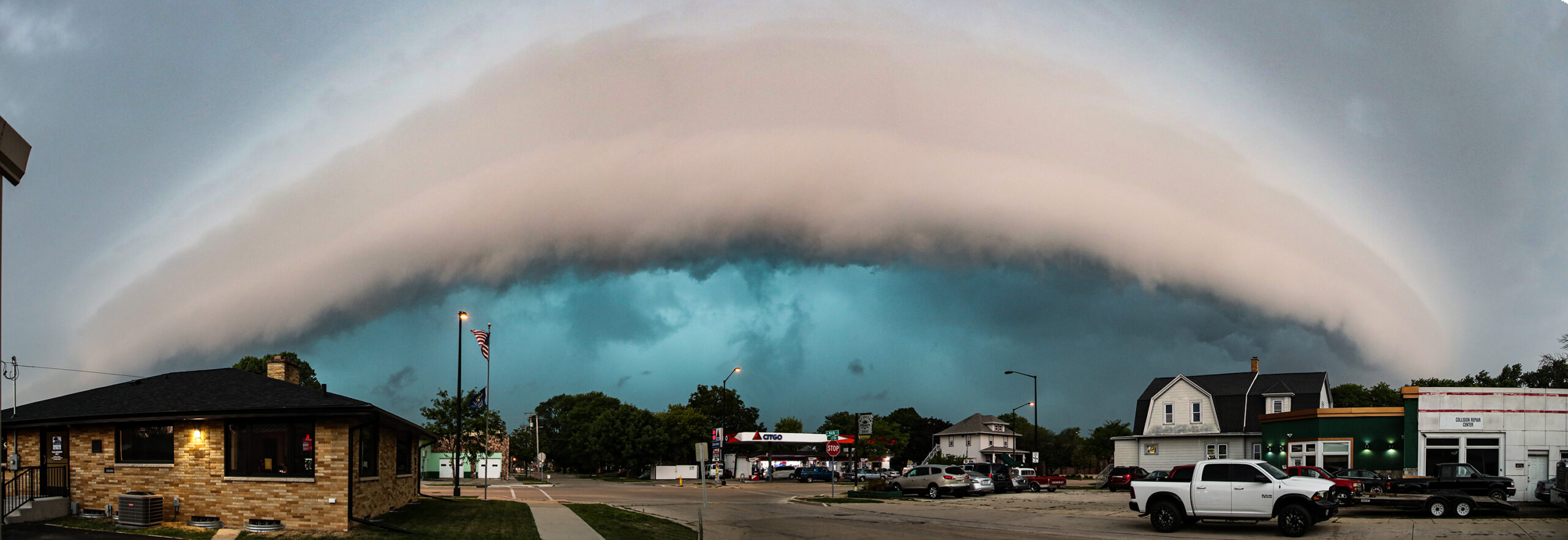
The storms are expected to bring all three hazards of wind, hail and tornadoes, but due to being in more of a line in our area, vs isolated storms to our west, we are expecting more straight line winds with an occasional tornado embedded in the rain Monday evening into the night time.
Stay tuned to KFIZ each day leading up to the potential outbreak for updated forecasts as some uncertainty remains in timing/location/threat, and details may still change in the next few days.