


Local News
Severe weather Tuesday?
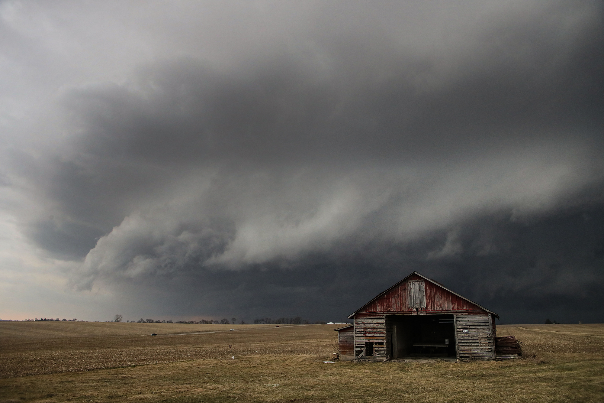
An approaching low pressure storm system looks to set the stage for a widespread severe weather event on Tuesday, May 21, 2024 from Iowa into northern Illinois and Wisconsin.
The Storm Prediction Center says all hazards associated with severe weather appear likely with storms that will form. Those hazards would be tornadoes, hail and high winds. The tornado threat as of Monday is maximized in eastern Iowa, northwest Illinois and southwest Wisconsin, though there is still a threat for tornadoes in the Fond du Lac area.
While the Fond du Lac area has a chance for showers and a thunderstorm in the morning of the 21st, these are not the storms of concern. Depending on how rain and clouds earlier in the day play out, will have an impact on how storms react in the afternoon into evening in our area.
The National Weather Service in southeast Wisconsin says the greatest chance of severe weather for the Fond du Lac area looks to be in the 5-8 PM time frame. At this time it looks like storms will be in a squall line with possible isolated storms out ahead of the line.
KFIZ’s Doug Raflik will have more on this potential severe weather outbreak on his morning weather report Tuesday morning at 6:20 AM and again at 7:50 AM.