


Local News
Winter storm forecast to hit Wisconsin Sunday into Monday morning

UPDATE: A Wind Advisory has been issued for the area from 6 p.m. Sunday to 6 p.m. Monday.
A “Panhandle Hook” storm system, given the name due to it’s path which takes it southeast to the area of the Oklahoma and Texas panhandles, and then hooks back to the northeast, will bring copious amounts of moisture with it as it heads towards Wisconsin Sunday.
These types of storms often bring the highest snowfall totals to our area because as they move south, they tap into gulf moisture along the southern states and transport it up to the Midwest.
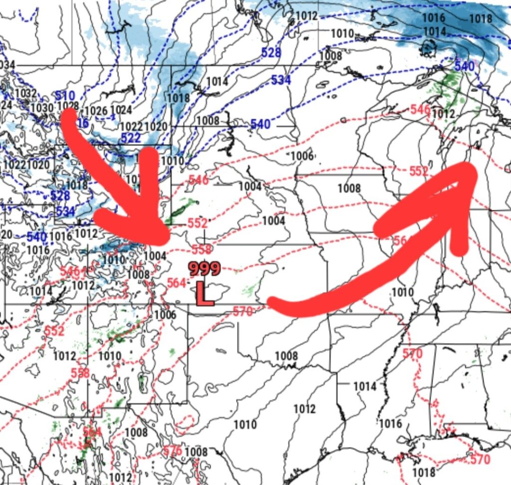
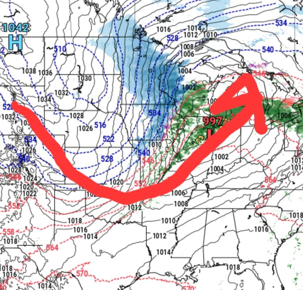
Because of this path, the storms also bring warmer air out in front of the storm system as winds flow counterclockwise around low pressures. So winds will be out of the south on the eastern side, then turn from the north on the western side of the system.
With this action, we are likely to see rain as the storm moves in, but a change over to snow as the storm passes to our east. In addition to the change in wind direction, this particular system looks to rapidly intensify as it moves over. The stronger the low pressure gets, the stronger the winds will be.
Winds on the backside of the storm, which will be in our area around the overnight hours Sunday into Monday will be blowing in the 20-30 mph range with some gusts reaching well into the 40 to 50 mph range. Coupled with snow falling will make travelling very treacherous during that time.
As far as precipitation totals go, we are looking at about a quarter to a half inch of rain Sunday before changing to snow, with about 3-5 inches falling.
Given the storm’s forecasted path, heavier amounts of snow will form to the north where rain will turn to snow sooner. As always, these winter storm snow totals are very dependent on the exact track of the center of the low pressure, with a difference of only a county or two making the difference of several inches of snow either way. If the storm moves slightly north from it’s forecasted track, we will see less snow. If it moves slightly south, we will see more snow.
As of mid day Saturday, December 27, the National Weather Service has Fond du Lac County in a Winter Weather Advisory with counties to our north in a Winter Storm Watch. This is likely to change as the storm approaches and it’s exact track becomes more obvious.
Stay tuned to KFIZ.com for up to the minute weather watches, warnings and advisories.
So in a nutshell, here is what to expect as of now.
Scattered light rain showers during the morning Sunday, becoming more widespread after noon.
Rain will change over to snow as winds turn from the north around 6-7 pm Sunday.
Snow and strong winds will persist through the night before snow tapers off Monday morning, but strong northerly winds will continue to blow into the evening which could result in blowing and drifting of snow, well after the snow stops falling.
Temperatures will fall with the northerly winds, dropping to around 20 degrees by Monday morning, and into the single digits by Tuesday morning.