


Local News
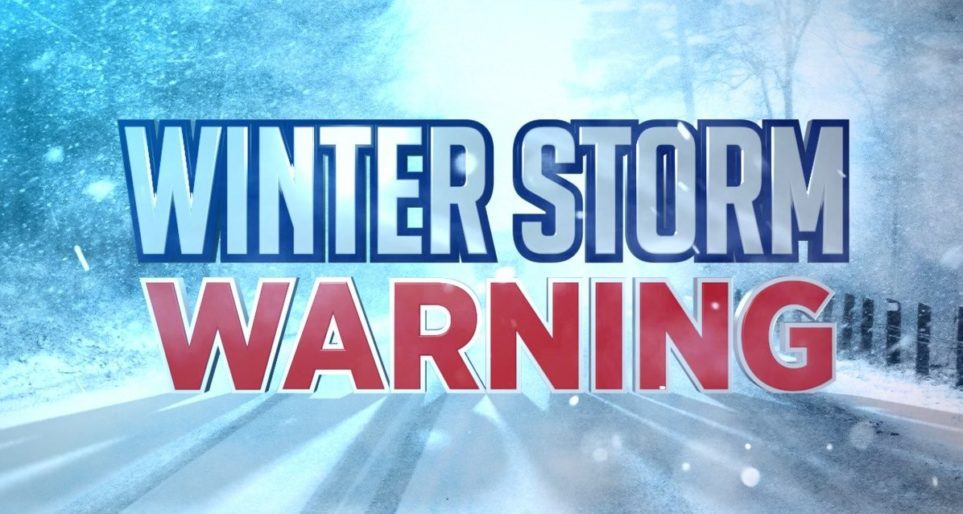
Winter Storm Warning to go into effect for Fond du Lac County at 4 p.m. Sunday
Saturday, March 14, 2026, 11:30 p.m.
The winter weather advisory currently in effect for the area will be upgraded to a winter storm warning at 4 p.m. Sunday, March 15, 2026.
For the Winter Storm Warning, heavy snow and some mixed
  precipitation expected. Total snow accumulations between 7 and 10
  inches and ice accumulations around a light glaze. Winds gusting
  as high as 50 MPH leading to blowing and drifting snow. Near
  blizzard conditions are possible later Sunday night into early
  Monday morning.

* WHERE...Fond du Lac, Columbia, Green Lake, Marquette, and Sauk
  Counties.

* WHEN...For the Winter Weather Advisory, until 4 PM CDT Sunday. For
  the Winter Storm Warning, from 4 PM Sunday to 4 PM CDT Monday.

* IMPACTS...Roads, and especially bridges and overpasses, will
  likely become slick and hazardous. Visibilities may drop below 1/4
  mile due to falling and blowing snow. The strong winds and weight
  of snow on tree limbs may down power lines and could cause
  sporadic power outages. Travel could be very difficult. Widespread
  blowing snow could significantly reduce visibility. The hazardous
  conditions could impact the Monday morning and evening commutes.
  Gusty winds could bring down tree branches.

PRECAUTIONARY/PREPAREDNESS ACTIONS...

Persons are urged to stay indoors until conditions improve. If you
must go outside, dress in layers. Several layers of clothes will
keep you warmer than a single heavy coat. Cover exposed skin to
reduce your risk of frostbite or hypothermia. Gloves, a scarf, and a
hat will keep you from losing your body heat.

Persons should consider delaying all travel. Motorists should use
extreme caution if travel is absolutely necessary.